HISTORY
Status of the Mavrovo Protected Area: Category II (National Park).
 First (original) Proclamation (1949-1952): In accordance with Article 73, paragraph 4 of the Constitution of the People’s Republic of Macedonia related with Article 5, paragraph 7 of the Law on the Presidium of People’s Assembly of the People’s Republic of Macedonia, the Mavrovo Protected Area was originally proclaimed by the People’s Assembly on its session of April 18, 1949 under the Act of Proclamation which says: “Act for Proclamation of the Forest Area around the Mavrovo Field as National Park” (Official Gazette of the People’s Republic of Macedonia No. 10, from May 05, 1949).
According to this Law, the National Park Mavrovo was proclaimed “on account of outstanding natural beauties, historical and scientific values of the forests and the forest land around Mavrovo Field”.
The boundaries of the Park were as follows: on east, from the spot elevation point 1,310 m the boundary line ascents along the summit of the locality Vlainitsa, across the spot elevation 1,329 m it continues over the village of Leunovo and across the Sundenski Rid Hill it reaches the spot elevation 1,983 m on the locality Sandaktash, thence it turns to the south up to the spot elevation 1,955 m, and continues to the spot elevation 1,684 m, thence turns to the west up to the spot elevation 1,767 m, whence under acute angle turns to the north to the locality Krstovi, thence turns again to the west running along the summit of the Kichinski Rid Hill reaches the spot elevation 1,548 m, thence descends to the spot elevation 1,020 m, passes the Mavrovska Reka River and ascends to the spot elevation 1,496 m, thence it continues to ascend on the locality Vrben to the spot elevation 1,743 m, thence along the hill top to the spot elevation 1,794 m, thence 26 turns to the spot elevation 1,740 m, and descends to the road Gostivar Mavrovo, thence follows the road toward Gostivar until the spot elevation 1,310 m.
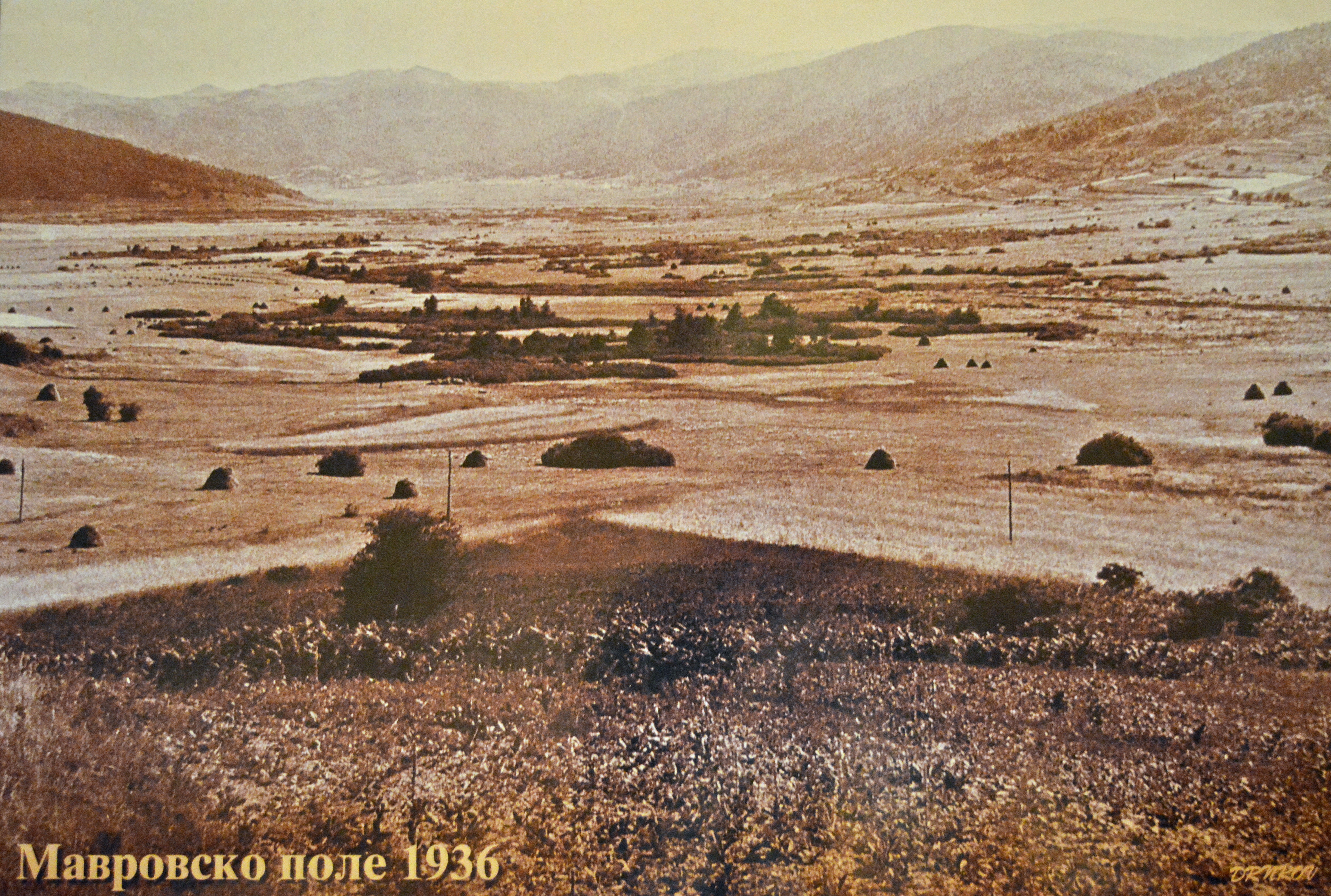
The area of the National Park Mavrovo was 11.750 ha. Within the boundaries of the Park, the villages: Mavrovo, Leunovo, Nikiforovo, Kichinitsa and Vrben were included.
Reproclamation (1952): On April 03, 1952, the boundaries of the National Park Mavrovo have been significantly increased by adoption of the amendments to the Law on Proclamation of the Forest Area around the Mavrovo Field as National Park (Official Gazette of the Socialist Federal Republic of Yugoslavia No. 23 from April 23, 1952). With these changes to the Law, the area of the National Park Mavrovo has been increased for six times, i.e. from 11,750 ha to 73,088 ha.
Thirty seven settlements of four local regions (Mavrovo Valley, Gorna Reka, Mala Reka and Dolna Reka) within the new boundaries of the Mavrovo Protected Area have been included.
Paragraphs 2, 3 and 4 of Article 1, of the Law on Proclamation of the Forest Area around the Mavrovo Field as National Park have been amended and say:
The boundaries of the National Park Mavrovo are as follows: The northern boundary of the Park that goes to the East begins at the spot elevation point 2,015 m on the locality Sherupa at the Yugoslavian-Albanian border, thence along an unnamed stream reaches the spot elevation 1,530 m, thence along the Tsrn Kamen Stream to the spot elevation 1,732 m, thence in straight line ascends to the spot elevation 1,916 m. Thence in straight line, the boundary runs upward to the spot elevation 2,216 m and continues to the trig point (triangulation point) 2,385 m on the locality Rasangul, whence begins the eastern boundary that runs to the south.
From the trig point 2,385 m, the eastern boundary runs southwardly along the ridge of the localities Venets, Tsrn Kamen, Fudan Lera, Morava, Digmovska Tsrkva passing across: the spot elevations 2,088 m and 2,224 m, the trig point 2,197 m, the spot elevations 2,150 m, 2,001 m, 1,794 m and 1,710 m, thence passes beside the police station on the locality Vlaynitsa and reaches the spot elevation 1,310 m, thence in a straight line runs to the trig point 1,320 m, continues across the locality Shundeski Rid Hill and reaches to the trig point 1,983 m at the locality Bandaktash, thence continues to the locality Milisher, where it passes across the spot elevation 1,955 m and across the ridge of the localities Kula, Chuknitapanitsa (spot elevation 1,889 m), Tri Groba (spot elevation 2,020 m) reaches the trig point 2,102 m on the Bistra Mountain, whence begins the southern boundary that runs to the west.
From the trig point 2,102 m, the southern boundary line runs westward to the spot elevation 2,024 m, thence across the localities Yavoritsa (spot elevation 1,832 m) and Nevestinski Grob continues along the ridge of the locality Yama (trig point 1,711 m), thence descends to the road Kichevo-Debar and follows the road in direction to Debar downward to the locality Velaytsa, thence along the Mala Reka River to the Boshkov Most Bridge where it passes the Radika River, whence runs to the locality Emishitsa and across the spot elevations 1,627 m and 2,255 m reaches to the Border Post Deli Iseinitsa (border point 12) on the Yugoslav-Albanian border, thence begins the western boundary of the Park that runs to the north.
The whole western boundary of the Park follows the Yugoslav-Albanian border, beginning from the Border Post Deli Iseinitsa thence runs to the north across the ridges of: Gol Krchin, Bolivar, Inoska, Plocha, Korabska Vrata, Kopi Bar, Kula, Zuberi and Kapi Djanit reaching to the spot elevation 2,015 m on the locality Sherupa.
Within the boundaries of the National Park Mavrovo the following 37 settlements are included: Mavrovo, Leunovo, Nikiforovo, Kichinitsa, Vrben, Bogdevo, Krakornitsa, Brodets, Zhuzhnje, Nichpur, Nistrovo, Bibay, Nivishte, Grekay, Ribnitsa, Tanushe, Vrbyani, Zhirovnitsa, Vidusha, Trebishte, Bitushe, Velebrdo, Rostushe, Adjievtsi, Prisoynitsa, Skudrine, Sushitsa, Lazaropole, Tresonche, Rosoki, Seltse, Janche, Galichnik, Boletin, Sentse, Volkovija and Belichitsa.
 Current Status (2011): The external boundaries of Mavrovo Protected Area have remained unchanged since its reproclamation of 1952, encompassing an area of 72,204.1 ha, by contemporary methodology of calculating, i. E. 73,088 ha, by former methodologies of calculating.
After delineation of the State Border with Kosovo, an additional area of 212.7 ha between the current boundary of the Park and the current State Border with Kosovo at the locality Lukovo Pole has appeared, that is not under protection.
Current Zoning of Mavrovo Protected Area.
The current zoning of Mavrovo Protected Area has been prepared within the frames of the Spatial Plan of National Park Mavrovo that dates from the year 1988. The zoning of the Park includes the following zones:
Zones of Strict Protection (4,417 ha):
Lukovo Pole – Adzina Reka Zone (Southern Slopes of the Shar Planina Mountain): encompasses a surface of 300 ha; significant hydrographic, geomorphologic and conspicuous floristic values: peat-bogs, Macedonian Sedge (Carex rigida macedonica).
Korab Zone: surface area 1,953 ha; encompasses the headwaters area of Ribnichka Reka River and the Mahiamada Hill (above the village of Tanushe) with Macedonian Pine (Pinus peuce), Bosnian Pine (Pinus heldreichii), sub-mountain beech forests, Burnet Saxifrage (Pimpinella saxifraga), species rich meadows above the forest line; the canyon above the village of Zhuzhnye on limestone bedrocks with diverse and rich arctic-alpine vegetation and numerous plant communities, including endemic communities; the area between Golema and Mala Korabska Vrata mountain passes with complex of geologic, relief, hydrographic, floral and landscape values, the headwaters of Shtirovitsa River, Dlaboka Reka River and Ribnichka Reka River.
Strezimir Zone: surface area 183 ha; encompasses the Canyon of Gorna Radika (Upper Radika River) with vertical slopes, serrated ridges and sharp top hills; appearance of European Black Pine (Pinus nigra) and Valerian (Centranthus).
Bogdevska Reka River Zone: surface area 28 ha; a rare appearance of Bog bean (Menyanthes trifoliata) with Moore Grass (Sesleria).
Senechka Planina Mountain and Barich Canyon Zone: surface area 1,953 ha; the Canyon Barich and Senechki Karpi Rocks as geomorphologic rarities; area with diverse flora: Foetid Juniper (Juniperus foetidissima), Turkish Hazel (Corylus colurna), Common Walnut (Juglans regia), Moor Grass (Sesleria spp.), Black Pine (Pinus nigra); locality Ostrovo – biological reserve.
Meliorative Zone:
The meliorative zone is divided into six forest management units covered by forests and pastures. Eleven sites for scientific investigations of forests within these units were established.
Tourist-Recreational Zones:
Tourist-Recreational Zone Mavrovsko Ezero Lake
The Mavrovsko Ezero Lake tourist-recreational zone encompasses the areas of: Mavrovi Anovi, Bunetz, Mavrovo ski terrains, Leunovo, Nikiforovo with the ski terrains Sandaktash and Kichinitsa.
Tourist-Recreational Zone Radika
The Upper Radika Area with the localities Rech and Adzina Reka River.
The Lower Radika Area and Mavrovska Reka River with the locality Trnitsa, the Monastery Sveti Jovan Bigorski (St. John the Baptist) and the villages Janche and Galichnik.
Southern Shar Planina Mountain Area with the localities Tsrn Kamen and Bogdevo.
Korab Mountain Area with the villages Tanushe, Ribnitsa, Zhuzhnje, the ski terrains bellow Golem Korab and from Shilovert to Lukovo Pole.
Deshat Mountain Area with the villages Zhirovnitsa and Bitushe.
Tourist-Recreational Zone Bistra
Lazaropole Area.
Seltse, Rosoki and Tresonche Area.
Touristic Sites and Landscapes for short visits and excursions
Mala and Golema Korabska Vrata Passes.
Kabash with Rosi Rimnits.
The Canyon Guri Vran on the Dlaboka Reka River.
The Canyon Barich.
The Canyons at mid and lower flow of the Radika River.
Senechki Karpi Rocks.
Shtirovichka Planina Mountain.
The Upper Radika Canyon.
Road Infrastructure
The road network of the Municipality Mavrovo-Rostushe consisted of the Motorway M4 (Skopje-Kichevo-Ohrid) and the Regional Roads: R409 (Mavrovo-Debar-Struga), R413 (a road that encircles the reservoir Mavrovsko Ezero Lake), R414 (Mavrovo-Galichnik), and R415 (Boshkov Most-Lazaropole). Total length of the Local Roads is 185.6 km, which are with various road qualities. All settlements within the boundaries of the Park are connected by local roads, except the village Zhuzhnye.
Electric Energy
All settlements of the Municipality Mavrovo-Rostushe are available for electric energy consumption, except the settlement Nivishte. Nevertheless that all settlements are covered by electric power distribution, most of the local communities (61%) are complaining on the electrical substations and the low quality of the electric power.
Water Supply
According to the last population census of the year 2002, in about 67% households of the former Municipality Mavrovi Anovi, and 95.3% households of the former Municipality Rostushe, the water is provided by public utilities. Most of the piped water supplying systems is managing by the Public Communal Enterprise Mavrovo, while the remainders, by Local Self-governments through community endeavours.
Solid Waste
The Public Communal Enterprise Mavrovo is in charge for collecting and disposal of communal solid waste from the settlements around the reservoir Mavrovsko Ezero Lake (former Municipality Mavrovi Anovi), while from December, 2008 and from the village Zhirovnitsa too. As an activity that has significantly strengthened the capacity of the Communal Enterprise was the donation of two tractors with dump trailers, and 61 garbage containers from Oxfam-Italia, within the Project Environmental Protection, Economic Development and Promotion of Eco-tourism in the National Park Mavrovo.